
Related styles:
-
 Created: Jan 01, 2009Last Updated: Mar 21, 2013
 -
 Created: Jan 10, 2009Last Updated: Dec 29, 2010
 -
 Created: Jan 17, 2009Last Updated: Jan 18, 2009
 -
 Created: Jan 17, 2009Last Updated: Jan 18, 2009
 -
 Created: Jan 17, 2009Last Updated: Dec 29, 2010
 -
 Created: Feb 27, 2009Last Updated: Feb 28, 2009
 -
 Created: Apr 19, 2009Last Updated: Apr 20, 2009
 -
 Created: May 11, 2010Last Updated: May 12, 2010
 -
 Created: Dec 30, 2008Last Updated: Mar 21, 2013

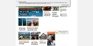
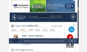
De Gule Sider : maps of Denmark full screen
Description:
UPDATED DEC 2010! Now actually works :)
First install FreeStyler to use this style.
If you already installed it, please, make sure this site is allowed to run JavaScript.But you can download Freestyler for other browsers and apply styles there!
Applies to:
http://www.dgs.dk/kort.html, http://www.degulesider.dk/kort.html, http://www.degulesider.dk/map, http://www.dgs.dk/mapalocation... More »